Skip to main content
Menu
Museum
Museum
An Ordinary Man, His Extraordinary Journey
Hours/Admission
Nearby Dining and Lodging
Information
Store
Foreign Language Museum Guides
Library Collections
Library Collections
Online Collections
Maps
Photographs
Harry S. Truman Papers
Federal Records
Personal Papers
Appointment Calendar
Audiovisual Materials Collection
President Harry S. Truman's Cabinet
President Harry S. Truman's White House Staff
Researching Our Holdings
Collection Policy and Donating Materials
Truman Family Genealogy
To Secure These Rights
Freedom to Serve
Events and Programs
Events and Programs
Facility Rental
Featured programs
Education
Education
Annual Truman Library Teacher Conference
Civics for All of US
Civil Rights Teacher Workshop
High School Trivia Contest
Teacher Lesson Plans
National History Day
Student Resources
Truman Presidential Inquiries
Student Research File
The Truman Footlocker Project
Truman Trivia
The White House Decision Center
Three Branches of Government
Electing Our Presidents Teacher Workshop
National History Day Workshops from the National Archives
Tours
About
About
Support
Research grants
Truman Library History
Contact Staff
Volunteer Program
Internships
Privacy
Click here to open or close the menu
Search
Breadcrumb
Harry S. Truman
Library Collections
Search Maps
Search Maps
Search Truman Archives
Search Results
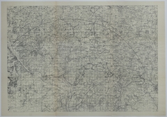
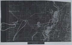
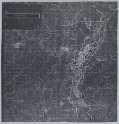
Search Results: 681 maps
Clear Search
Refine Results
Enter Search Terms
Enter Search Terms
Search Parameter
Is equal to
Is not equal to
Contains
Contains any word
Contains all words
Starts with
Does not start with
Ends with
Does not end with
Does not contain
Length is shorter than
Length is longer than
Regular expression
Negated regular expression
Topics
Banks and banking
Cities and towns
Coal trade
Cold War
County government
Forests and forestry
Formations (Geology)
Freemasonry
Jewish-Arab relations
Korean War, 1950-1953
Military bases
Mines and mineral resources
Navy-yards and naval stations
Oil industries
Postal service
Presidential libraries
Presidential residences
Railroads
Rivers
Roads
Universities and colleges
World War, 1914-1918
World War, 1939-1945
Start Date
Min
Max
Exclude Copyright Restricted
- Any -
Restricted
Undetermined
Unrestricted
Agency Restriction
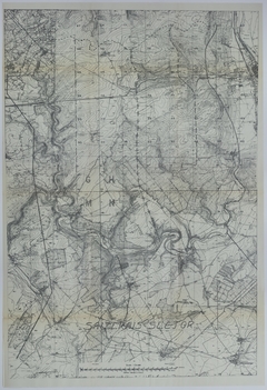
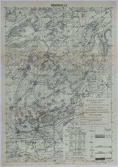
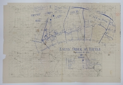
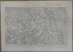
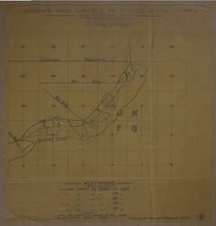
Map of the Saizerais Sector
Map # M1953 [1:20,000]
Map of the Movement of the 128th Field Artillery
Map # M1040 [1:1,265,000]
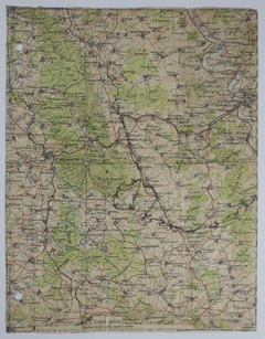
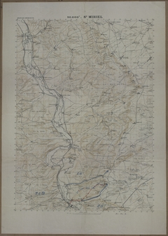
Map of the Area around Metz, St. Mihiel, Commercy, Toul, Nancy, Luneville, and Epinal
Map # M1055 [1:200,000]
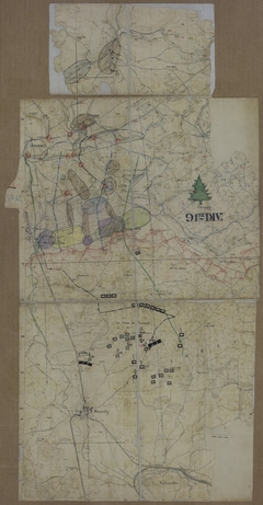
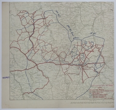
Map of 35th Division Movement
Map # M1048 [1:1,500,000]
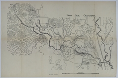
Map of Fort Sill, Oklahoma
Map # M1933 [5 inches=3,000 yards]
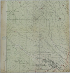
Map of the Area Around Steinbach, Germany
Map # M1058-01
Map of the American Sector of the Coblentz Bridgehead
Map # M1958
Map of 35th Division Positions
Map # M1119 [1:50,000]
Map of 35th Division Positions
Map # M1118 [1:50,000]
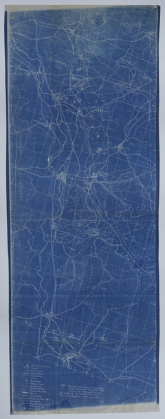
Map of the 5th Army Corps Artillery on November 1, 1918
Map # M1957 [1:20,000]
Map of the 1st Division During the Sedan Operation
Map # M1956 [1:20,000]
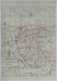
Map of the 1st Division During the Meuse-Argonne Offensive
Map # M1955 [1:20,000]
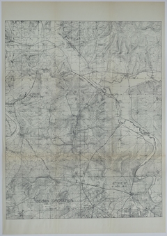
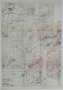
Map of the 1st Division During the St. Mihiel Operation
Map # M1954 [1:20,000]
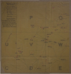
Map of Enemy and Allied Positions
Map # M1027 [1:50,000]
Map of the 1st Division During the Soissons Operation
Map # M1952 [1:20,000]
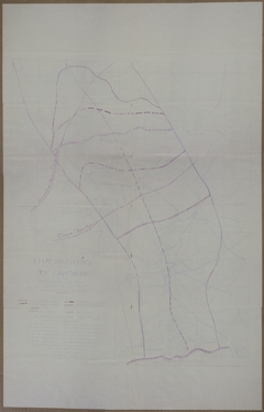
Map of the Area Surrounding Chaumont-en-Vexin and the Marne Salient
Map # M1951
Map of the Sommerviller Sector
Map # M1948 [1:20,000]
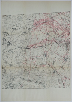
Map of the Ansauville Sector
Map # M1949 [1:20,000]
Map of the Larchey Sector from July 19 to September 1, 1918
Map # M1117 [1:20,000]
Map of Allied and Enemy Positions around Etain
Map # M1114
Map of the Larchey Sector from July 19 to September 1, 1918
Map # M1116 [1:20,000]
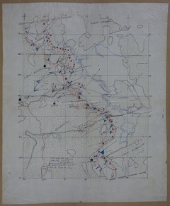
Map of Divisional Movement During the Meuse-Argonne Offensive
Map # M1913 [1/200,000]
Map of the Meuse-Argonne Offensive
Map # M1913-01 [1 kilometer = 1/2 inch]
Map of Allied and Enemy Positions During the Meuse-Argonne Offensive
Map # M1113 [1:20,000]
Map of the Area around Verdun, Toul, Nancy, Metz, and Epinal
Map # M1191
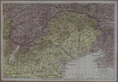
Map of the Italian Front
Map # M971 [1 inch = 6 miles]
Map of the Battle of the Argonne Forest
Map # M616 [1:50,000]
Map of the Battle of the Argonne Forest
Map # M617 [No Scale]
Map of the Battle of the Argonne Forest
Map # M621 [1:50,000]
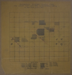
Map of Enemy Shell Fire
Map # M1013 [1:40,000]
Map of Enemy Targets
Map # M1010
Map of Allied and Enemy Lines in Munster, Larchey Sector
Map # M1007 [1:20,000]
Map of the Meuse-Argonne Offensive
Map # M1014 [1:20,000]
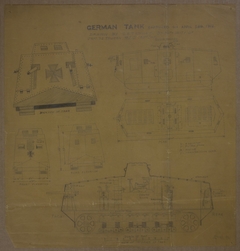
Drawing of a Captured German Tank
Map # M1012 [1 inch = 3 feet]
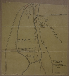
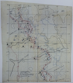
Map of Night Patrols
Map # M1011 [1:20,000]
Map of the Meuse-Argonne Offensive
Map # M624
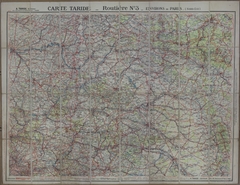
Map of Transportation Routes Surrounding Paris
Map # M937 [1:250,000]
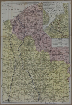
Map of the British Front
Map # M972 [1 inch = 4 miles and 1 inch = 60 miles]
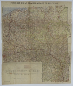
Map of the Front in Northeast France and Belgium
Map # M1062 [1:500,000]
Map of Battle Lines and Positions
Map # M992
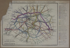
Map of Paris Transportation Routes
Map # M998
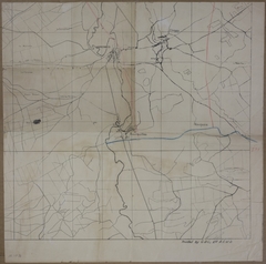
Map of Allied and Enemy Lines Surrounding Cheppy
Map # M1016-01
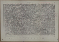
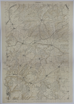
Map of Commercy
Map # M619 [1:20,000]
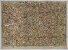
Map of Roads in the Vosges Mountains
Map # M625 [1 inch:10 kilometers]
Map of Munster, Larchey Sector
Map # M1006 [1:20,000]
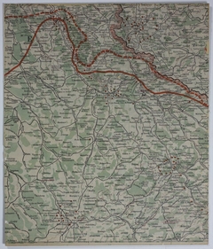
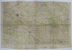
Map of the Area Surrounding Reims, Chalons, Verdun, and Bar-le-Duc
Map # M1019 [1:200,000]
Map of Road Usage and Boundaries
Map # M1017 [1:200,000]
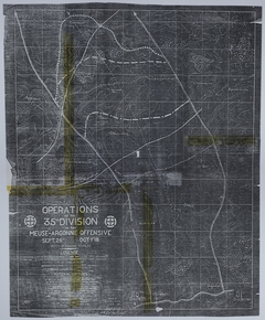
Map of the 35th Division During the Meuse-Argonne Offensive
Map # M1021
Map of Target Areas
Map # M1018
Map of Annexed and Occupied Territories
Map # M1020
Pagination
Page 1
Next page
››