
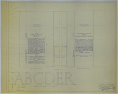
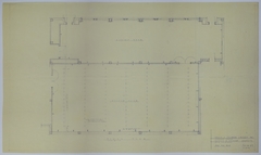
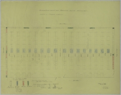
Search Maps
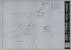
Map # M111 [1 inch = 100 feet. Key to Parking: None.]
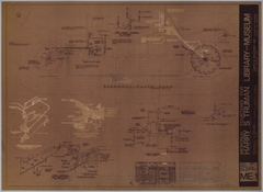
Map # M112 [1 inch = 60 feet]
Map # M21 [1 inch = 40 feet. Courtyard: 1 inch = 200 feet.]
Map # M113 [1 inch = 60 feet. Key to Parking: None.]
Map # M70 [3/4 inch = 1 foot]
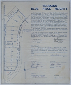
Map # M19 [1/4 inch = 1 foot]
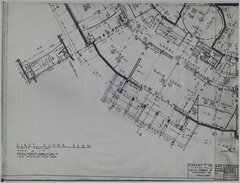
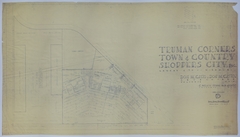
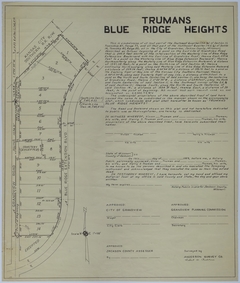
Map # M119 [1 inch = 100 feet]
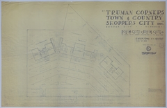
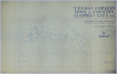
Map # M120 [1 inch = 100 feet]
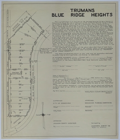
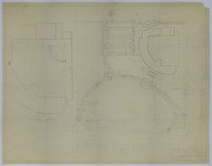
Map # M120-01 [1 inch = 100 feet]
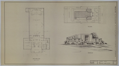
Map # M20 [First floor: 1/2 inch = 1 foot. Ground floor: 1/2 inch = 1 foot. Smaller ground floor: 1/8 inch = 1 foot.]
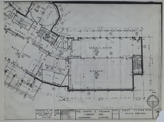
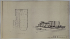
Map # M114 [1/8 inch = 1 foot. Site Plan: None. Perspective: None.]
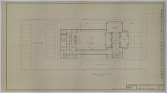
Map # M115 [1/8 inch = 1 foot. Perspective: None.]
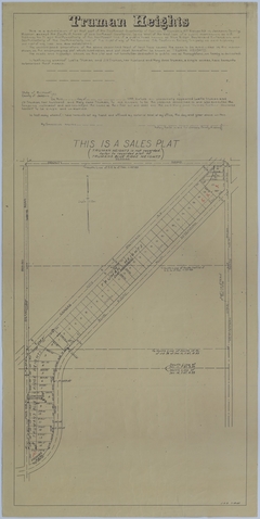
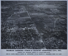
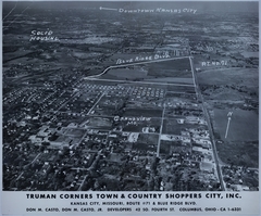
Map # M121 [1 inch = 200 feet]
Map # M72 [1 inch = 20 feet. Inset: None.]
Map # M76 [1/4 inch = 1 foot. Insets: Not to Scale.]
Map # M73 [1/4 inch = 1 foot]
Map # M75 [3 inches = 1 foot]
Map # M71 [Full Size]
Map # M74 [3/4 inch = 1 foot]
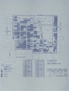
Map # M108 [1/16 inch = 1 foot. Inset: 1 inch = 100 feet.]