Search Maps
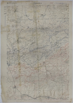
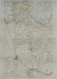
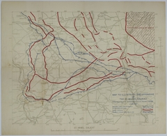
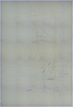
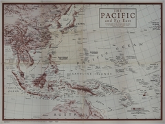
Map # M1084 [1:20,000]
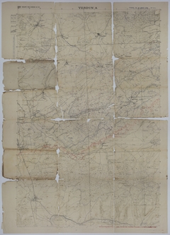
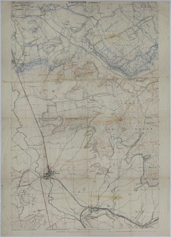
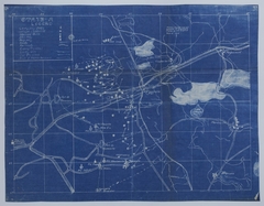
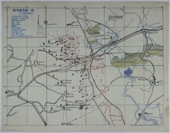
Map # M1920 [1:10,000]
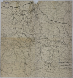
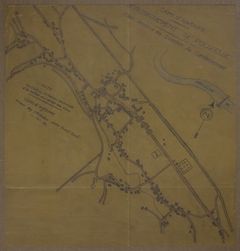


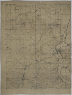
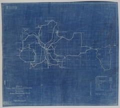
Map # M125 [2 1/2 inches = 1000 feet]


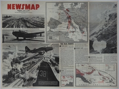
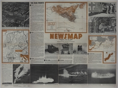


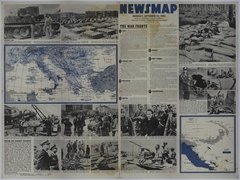

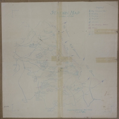
Map # M1735 [2 3/4 inches = 30 miles. Inset: 1 1/4 inches = 150 miles. New Guinea: 3 1/4 inches = 150 miles]
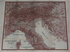
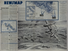
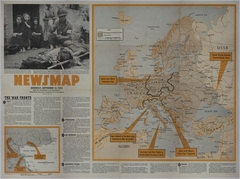
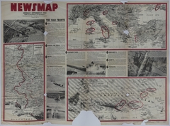
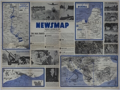
Map # M1736 [3 1/2 inches = 150 miles. Italy: 2 inches = 30 miles. Eastern Front:3 inches = 300 miles]
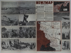
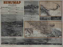
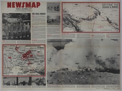
Map # M1737 [3 inches = 300 miles. Burma: 2 1/4 inches = 150 miles. New Guinea: 3 1/4 inches = 700 miles. Inset of New Britain: 1 inch = 20 miles. Southern Europe: 3/4 inch = 50 miles.]
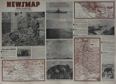
Map # M1738 [4 3/4 inches = 200 miles. New Britain: 4 1/2 inches = 200 miles.]