Skip to main content
Menu
Museum
Museum
An Ordinary Man, His Extraordinary Journey
Hours/Admission
Nearby Dining and Lodging
Information
Store
Foreign Language Museum Guides
Library Collections
Library Collections
Online Collections
Maps
Photographs
Harry S. Truman Papers
Federal Records
Personal Papers
Appointment Calendar
Audiovisual Materials Collection
President Harry S. Truman's Cabinet
President Harry S. Truman's White House Staff
Researching Our Holdings
Collection Policy and Donating Materials
Truman Family Genealogy
To Secure These Rights
Freedom to Serve
Events and Programs
Events and Programs
Facility Rental
Featured programs
Education
Education
Annual Truman Library Teacher Conference
Civics for All of US
Civil Rights Teacher Workshop
High School Trivia Contest
Teacher Lesson Plans
National History Day
Student Resources
Truman Presidential Inquiries
Student Research File
The Truman Footlocker Project
Truman Trivia
The White House Decision Center
Three Branches of Government
Electing Our Presidents Teacher Workshop
National History Day Workshops from the National Archives
Tours
About
About
Support
Research grants
Truman Library History
Contact Staff
Volunteer Program
Internships
Privacy
Click here to open or close the menu
Search
Breadcrumb
Harry S. Truman
Library Collections
Search Maps
Search Maps
Search Truman Archives
Search Results
Search Results: 681 maps
Clear Search
Refine Results
Enter Search Terms
Enter Search Terms
Search Parameter
Is equal to
Is not equal to
Contains
Contains any word
Contains all words
Starts with
Does not start with
Ends with
Does not end with
Does not contain
Length is shorter than
Length is longer than
Regular expression
Negated regular expression
Topics
Banks and banking
Cities and towns
Coal trade
Cold War
County government
Forests and forestry
Formations (Geology)
Freemasonry
Jewish-Arab relations
Korean War, 1950-1953
Military bases
Mines and mineral resources
Navy-yards and naval stations
Oil industries
Postal service
Presidential libraries
Presidential residences
Railroads
Rivers
Roads
Universities and colleges
World War, 1914-1918
World War, 1939-1945
Start Date
Min
Max
Exclude Copyright Restricted
- Any -
Restricted
Undetermined
Unrestricted
Agency Restriction
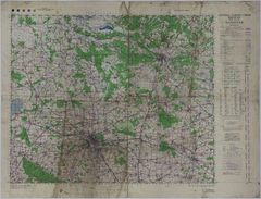
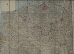
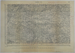
Map of the Area Near Paderborn, Germany
Map # M1141 [1:100,000]
1944
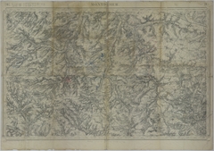
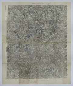
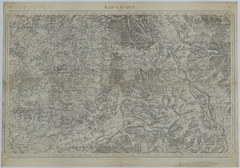
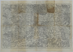
Map of the Area Near Wiesbaden, Germany
Map # M1142 [1:100,000]
1944
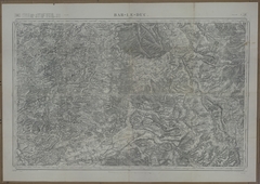
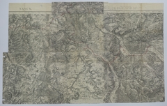
Map of Allied Movement Along the Front
Map # M1060 [1:320,000]
1918
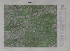
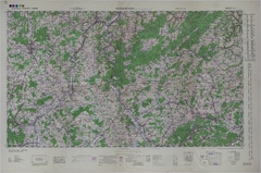
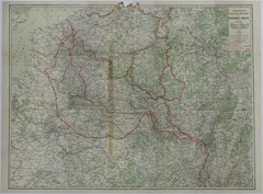
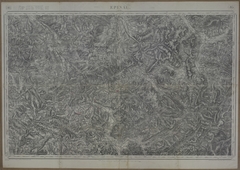
Map of the Area Near Braunschweig, Germany
Map # M1144 [1:100,000]
1944
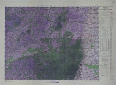
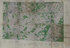
Map of the Area Near Hannover, Germany
Map # M1145 [1:100,000]
1944
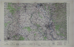
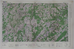
Map of the Area Near Siegen, Germany
Map # M1147 [1:100,000]
1944
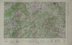
Map of the Area Near Kaiserslautern, Germany
Map # M1146 [1:100,000]
1944
Map of the Area Near Cologne, Germany
Map # M1148 [1:100,000]
1944
Map of the Area Near Neunkirchen, Germany
Map # M1149 [1:100,000]
1944
Map of the Area Near Saarbrucken, Germany
Map # M1151 [1:100,000]
1944
Map of the Area Near Trier, Germany
Map # M1150 [1:100,000]
1944
Map of the Area Near Bonn, Germany
Map # M1152 [1:100,000]
1944
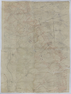
Map of Allied Positions and Movement Along the Front
Map # M981 [1 inch = 2 kilometers]
1914
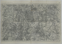
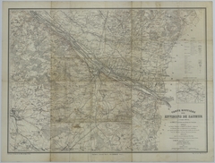
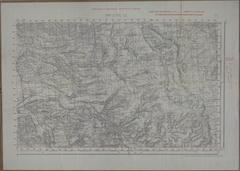
Map of the Area Around Nancy
Map # M1305 [1 inch = 2 kilometers]
1912
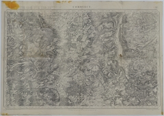
Map of the Area Around Commercy
Map # M1306 [1 inch = 2 kilometers]
1912
Map of the Area Around Commercy
Map # M1307 [1 inch = 2 kilometers]
1912
Map of German Positions and Supply on August 25, 1918
Map # M1046 [1:50,000]
1912
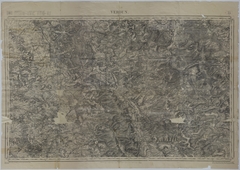
Map of Verdun (Mezieres)
Map # M979
1913
Map of the Area around Lure
Map # M1043
1913
Map of the Movement of the 128th Machine Gun Battalion
Map # M1918 [1:50,000]
1913
Map of the Area Around Lure
Map # M1284
1913
Map of Battle Lines and Positions Near Reims
Map # M1099 [1 inch = 2 kilometers]
1913
Map of German Advancement as of September 1914
Map # M1061 [1 inch = 10 miles]
1914
Map of the Conflans Offensive
Map # M1923 [1:80,000]
1912
Map of the Front Lines on October 10, 1918 and October 23, 1918
Map # M1032 [1:300,000]
1914
Map of the Area Surrounding Saumur
Map # M1285 [1:40,000]
1915
Map of the Area Around Mezieres
Map # M1002 [1:80,000]
1916
Map of the Area Around Mezieres
Map # M1004 [1:80,000]
1916
Map of the Area Around Mezieres
Map # M1003 [1:80,000]
1916
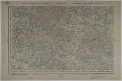
Map of the Front in Northern France
Map # M1095 [5 inches = 10 kilometers]
1916
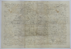
Map of the Area around Camp Coetquidan
Map # M1042 [1:20,000]
1917
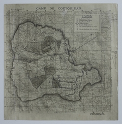
Map of the Area around Camp Coetquidan
Map # M1042-01 [1:20,000]
1917
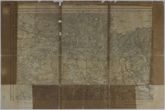
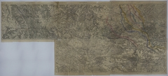
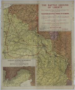
Map of the Western Front
Map # M1302 [1:633,600]
1917
Map of the Western Battle Front as of October 1917
Map # M964 [1 inch = 10 miles. Inset: 1 inch = 17 miles.]
1917
Map of the Movement of the 128th Machine Gun Battalion
Map # M1915 [1:80,000, 1 kilometer = 1/2 inch]
1911
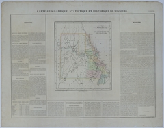
Map of Missouri
Map # M167 [2 1/4 inches = 80 miles]
1825
Map of the Area Around Angers
Map # M1304 [1:50,000]
1894
Map of the Location of the 140th Infantry in March 1919
Map # M1051
1906
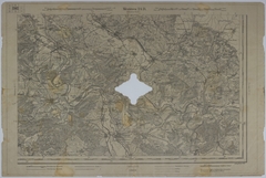
Map of the Battle of the Argonne Forest
Map # M618 [1 inch = 2 kilometers]
1911
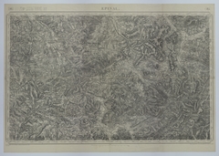
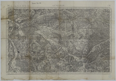
Map of Epinal (Luneville)
Map # M985
1911
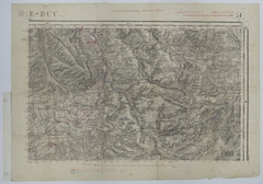
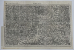
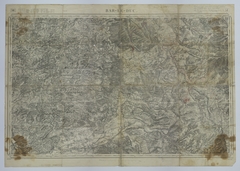
Map of Bar-Le-Duc S.E.
Map # M991
1911
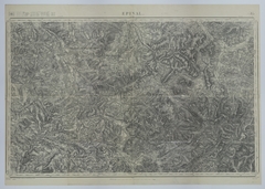
Map of the Area around Epinal
Map # M1044
1911
Map of the Area around Epinal
Map # M1044-01
1911
Map of the 140th Infantry Positions during the Meuse-Argonne Offensive
Map # M1045
1911
Map of the Movement of the 128th Machine Gun Battalion
Map # M1917 [1:80,000, 1 kilometer = 1/2 inch]
1911
Map of Trench Systems and Battery Activity in Northeast France
Map # M627 [1:10,000]
1917
Map of the Area Around Bar-le-Duc
Map # M1291 [1 inch = 2 kilometers]
1911
Map of the Area Around Bar-le-Duc
Map # M1300 [1 inch = 2 kilometers]
1911
Map of the Route of Train Number 46
Map # M1301 [1 inch = 2 kilometers]
1911
Map of the Movement and Positions of the 35th Division
Map # M978
1911
Pagination
Previous page
‹‹
Page 7
Next page
››