
-
- Library Collections
- Online Collections
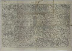
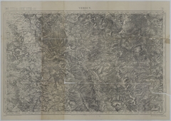
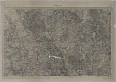
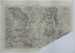
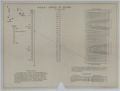
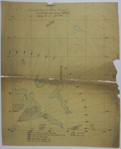
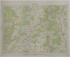
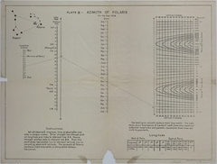
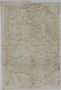
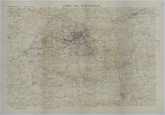
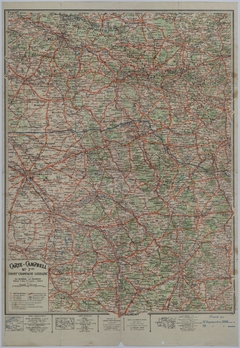
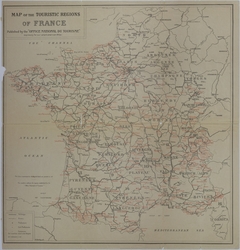
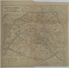
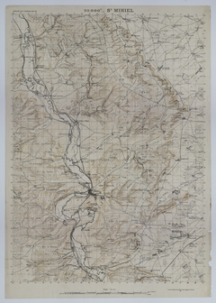
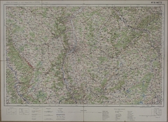
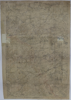
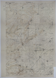
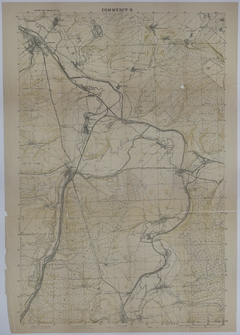
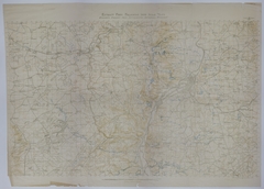
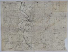
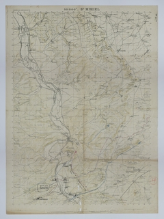
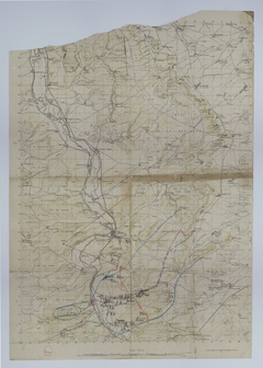
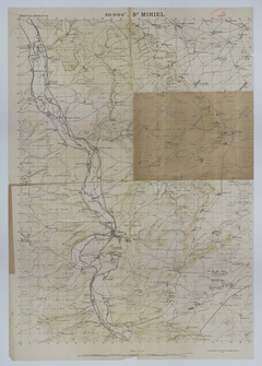
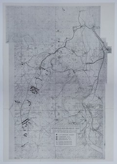
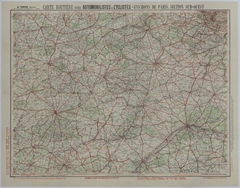
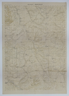
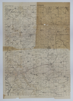
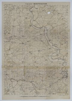
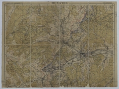
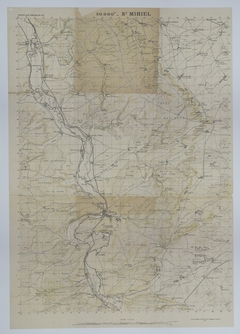
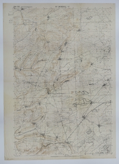
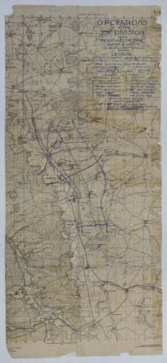
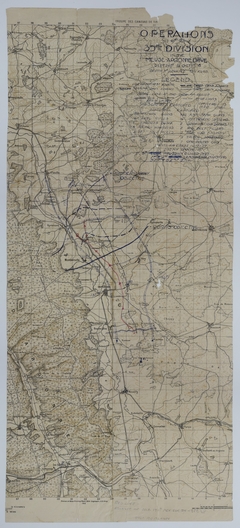
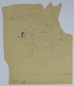
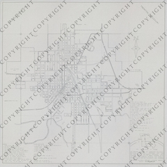
- Maps
- Photographs
- Harry S. Truman Papers
- Federal Records
- Personal Papers
- Appointment Calendar
- Audiovisual Materials Collection
- President Harry S. Truman's Cabinet
- President Harry S. Truman's White House Staff
- Researching Our Holdings
- Collection Policy and Donating Materials
- Truman Family Genealogy
- To Secure These Rights
- Freedom to Serve
-
- Education
- Annual Truman Library Teacher Conference
- Civics for All of US
- Civil Rights Teacher Workshop
- High School Trivia Contest
- Teacher Lesson Plans
- National History Day
- Student Resources
- Truman Presidential Inquiries
- Student Research File
- The Truman Footlocker Project
- Truman Trivia
- The White House Decision Center
- Three Branches of Government
- Electing Our Presidents Teacher Workshop
- National History Day Workshops from the National Archives
- Tours
Breadcrumb
- Harry S. Truman
- Library Collections
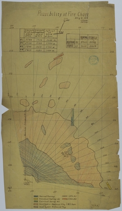
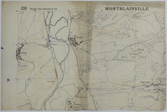
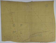
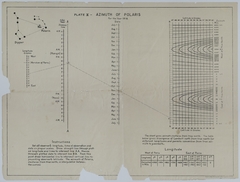
- Search Maps